Garmin GPSMAP 1223, Worldwide
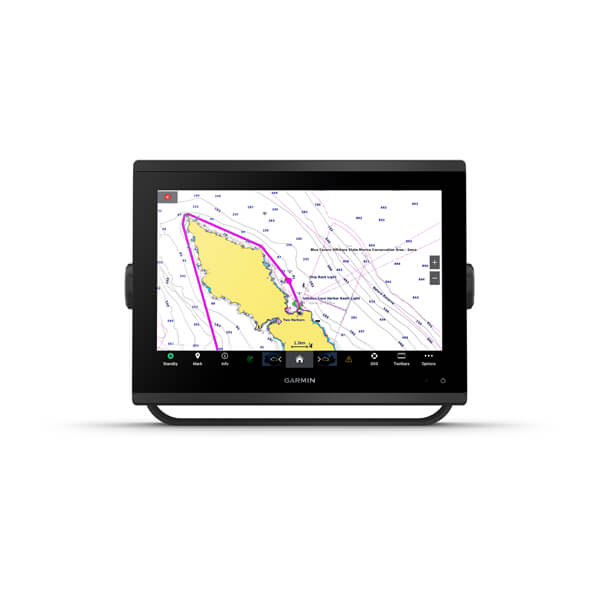
The Garmin GPSMAP 1223 is a 12-inch, non-sonar marine chartplotter from Garmin's GPSMAP 1200 series, supplied here with a worldwide basemap rather than a region-locked chart set. It steps up from the older GPSMAP 12-inch Plus generation with a crisper IPS display offering improved sunlight readability and wider viewing angles, and is aimed at boaters who want a large, clear plotting screen as either a standalone helm display or one MFD in a larger multi-screen Garmin network.
The 12-inch IPS touchscreen runs at WXGA resolution (1280 x 800), and typical power draw is modest — around 1.7A typical / 2.2A maximum at 12V, with a maximum rated power usage of 26.5W at 10Vdc, making it easy to budget for a boat's electrical system. Built-in Wi-Fi connects to the Garmin/ActiveCaptain mobile app for the OneChart feature, smart notifications, easy software updates, Garmin Helm digital switching control, and access to Quickdraw community mapping data contributed by other Garmin users. J1939 engine connectivity lets it interface directly with compatible engines, including select Yamaha outboards, to show real-time engine data on screen. It also supports Panoptix PS51 forward-looking scanning sonar (transducer sold separately) for close-quarters and shallow-water awareness even though there's no sonar built in. Physical dimensions are 12.1 x 8.9 x 3.2 inches.
Online price incl. VAT
Availability: Stock available — ships within 1-3 business days
Display
- Screen Size: 12" IPS touchscreen
- Resolution: 1280 x 800 (WXGA)
Navigation
- Charts: Worldwide basemap
- Sonar: None built-in; Panoptix PS51-ready
- Engine Integration: J1939 (incl. select Yamaha outboards)
Power & Physical
- Power Draw: ~1.7A typical / 2.2A max @ 12V; 26.5W max @ 10Vdc
- Dimensions: 12.1 x 8.9 x 3.2 in
- Wireless: Built-in Wi-Fi (ActiveCaptain app)