Garmin GPSMAP® 1243 (US SKU)
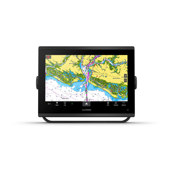
The Garmin GPSMAP 1243 is a 12.1-inch marine chartplotter built around a high-resolution, in-plane switching (IPS) touchscreen with 1280 x 800 pixel resolution, giving wide viewing angles and strong sunlight readability from virtually any seat on a helm. This is the non-sonar variant of the GPSMAP 1200 Plus series (distinct from the 1243xsv, which bundles an internal sounder) and ships in this listing as the US SKU, meaning it is preloaded with detailed US and Canadian coastal charts rather than a worldwide basemap. It is designed as the central multifunction display (MFD) in a Garmin marine electronics network, sitting at the heart of a boat's navigation, radar, autopilot, and digital-switching setup.
On the water it is used for route planning and chartplotting, integrating with Garmin's Fantom radar domes, Reactor autopilots, and GT-series transducers over NMEA 2000 and the Garmin Marine Network to consolidate everything onto one screen. Built-in Wi-Fi pairs with the ActiveCaptain app for wireless chart updates, smart notifications, and access to the Garmin Quickdraw community mapping data. The housing is rated IPX7 waterproof and measures 12.1 x 8.9 x 3.2 inches, weighing roughly 6.6 lbs, and runs on a 10-32 Vdc marine electrical supply. Panoptix support (with a compatible transducer sold separately) adds forward- and down-looking live sonar imaging for the same unit.
Online price incl. VAT
Availability: Stock available — ships within 1-3 business days
Display
- Screen Size: 12.1" diagonal
- Type: IPS touchscreen
- Resolution: 1280 x 800 (WXGA)
Navigation
- Charts: US/Canada coastal basemap (US SKU)
- Sonar: Not built-in; Panoptix-ready with separate transducer
- Networking: NMEA 2000, Garmin Marine Network, built-in Wi-Fi
Physical
- Dimensions: 12.1 x 8.9 x 3.2 in (30.8 x 22.8 x 8.2 cm)
- Weight: ~6.6 lbs (3.0 kg)
- Waterproof Rating: IPX7
- Power Input: 10-32 Vdc