Garmin GPSMAP 943, US+Canada+Bahamas g3, LakeVu g3
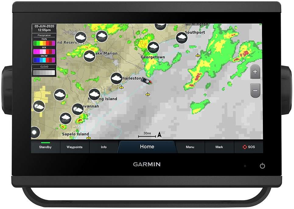
This Garmin GPSMAP 943 is preloaded with Garmin's own BlueChart g3 coastal charts covering the US, Canada and Bahamas, plus LakeVu g3 inland lake mapping - a chartplotter configuration aimed squarely at North American coastal and freshwater boaters who want detailed, ready-to-use charts on both ocean/coastal and inland lake waters without buying separate map cards. It shares the same 9" IPS touchscreen and processing hardware as every GPSMAP 943 in this catalog.
BlueChart g3 charts include Garmin's Auto Guidance+ technology, which calculates a route around charted hazards using the boat's own draft, height and beam, while LakeVu g3 extends the same detailed mapping and depth contour data to thousands of North American lakes - genuinely useful for anglers and boaters who split time between coastal and inland freshwater fishing rather than sticking to one type of water. The display supports NMEA 2000/0183 networking, J1939 engine data, and built-in Wi-Fi for the ActiveCaptain app (chart updates, smart notifications, software updates), and Garmin's SailAssist sailing features are included as standard across the GPSMAP 943 line. Because BlueChart g3 and LakeVu g3 are Garmin's own proprietary chart formats, updates and additional regional coverage can be added later directly through the ActiveCaptain app, without needing a physical SD card swap.
Online price incl. VAT
Availability: Stock available — ships within 1-3 business days
Display
- Size: 9" touchscreen
- Resolution: 1280x720 (WXGA)
- Panel: In-plane switching (IPS)
Mapping
- Coastal Charts: BlueChart g3, US + Canada + Bahamas
- Inland Mapping: LakeVu g3
- Routing: Auto Guidance+
Connectivity
- Networking: NMEA 2000, NMEA 0183, J1939, Garmin Marine Network
- Wireless: Built-in Wi-Fi, ActiveCaptain app support